 vesseltracker.com
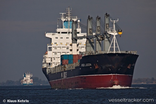
Vessel EL TETHYS IMO: 9138123, MMSI: 371426000
UTC, 24.47983, 58.19038, course: 95, speed: 12
UTC, 24.43348, 58.52348, course: 102, speed: 12
2026-02-10 10:19:09 UTC, 24.34255, 58.99730, course: 102, speed: 10
Live AIS position:
UTC. 48 nm NE of Port Sultan),
updated 2026-02-10 10:19:09 UTC.
Find the position of the vessel EL TETHYS on the map. The latter are known coordinates and path.
marine traffic ship tracker show on live map
The current position of vessel EL TETHYS is 24.34255 lat / 58.99730 lng. Updated: 2026-02-10 10:19:09 UTCDetails:
Last coordinates of the vessel:
UTC, 24.52935, 57.62165, course: 95, speed: 12UTC, 24.47983, 58.19038, course: 95, speed: 12
UTC, 24.43348, 58.52348, course: 102, speed: 12
2026-02-10 10:19:09 UTC, 24.34255, 58.99730, course: 102, speed: 10